LIFE AT THE IRON CURTAIN: ECONOMIC AND SOCIAL CONDITIONS OF THE RURAL POPULATION IN THE “MILL QUARTER” AFTER 1945


Left: My husband Karl Wurm at the current Austrian-Czech border, where the Iron Curtain ran until 1989 at the border stream Lainsitz / Luznice. Right: The “Schwarzenberg Canal”, a sluiceway for logs built at the time of the Habsburg Monarchy, where the Iron Curtain separated the two regions, the “Mill Quarter” (Mühlviertel) and Southern Bohemia, from 1948 until 1989


Border stones between Austria (Ö) and Czechoslovakia (C) in the “Mill Quarter” today

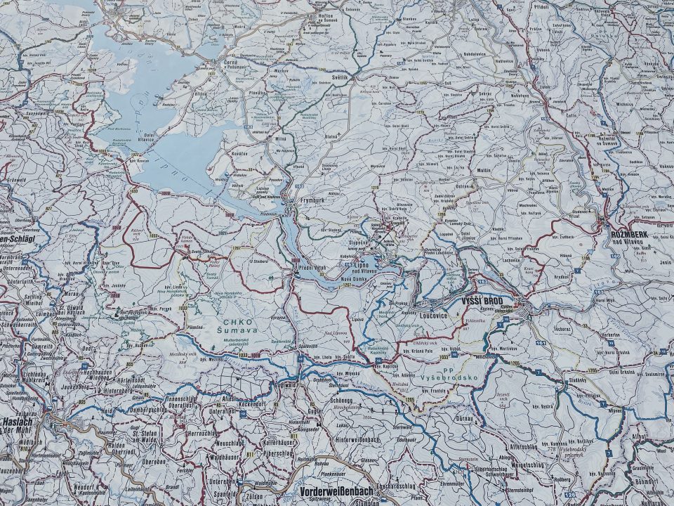
Left: Part of the Iron Curtain at the borders of Austria, Czechoslovakia, East and West Germany; right: Current map of the Bohemian Forest region: Southern Bohemia and the “Mill Quarter”
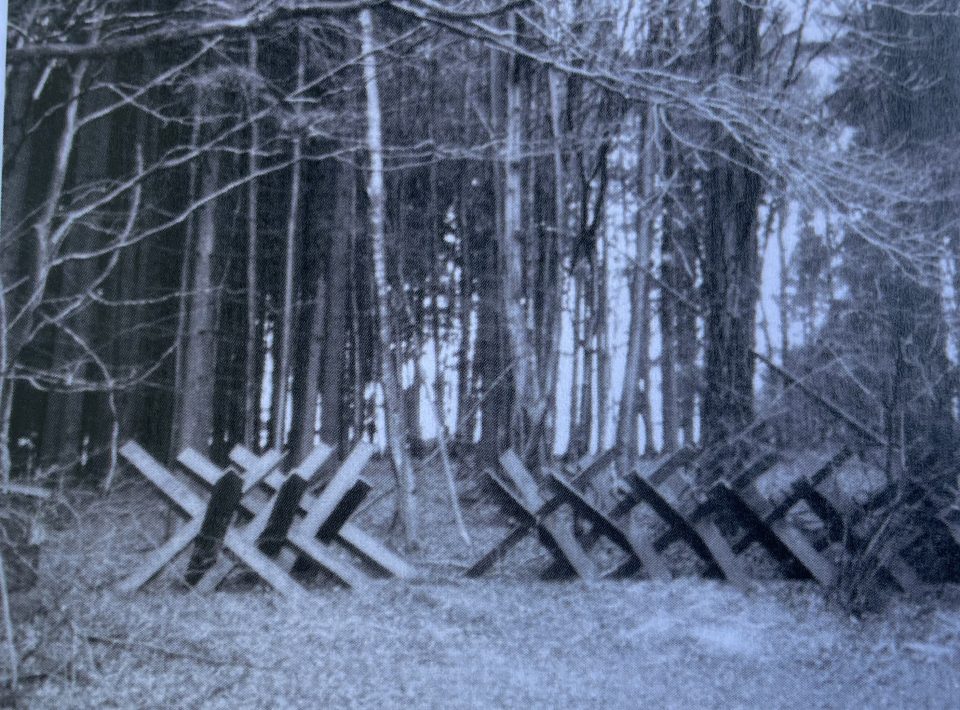

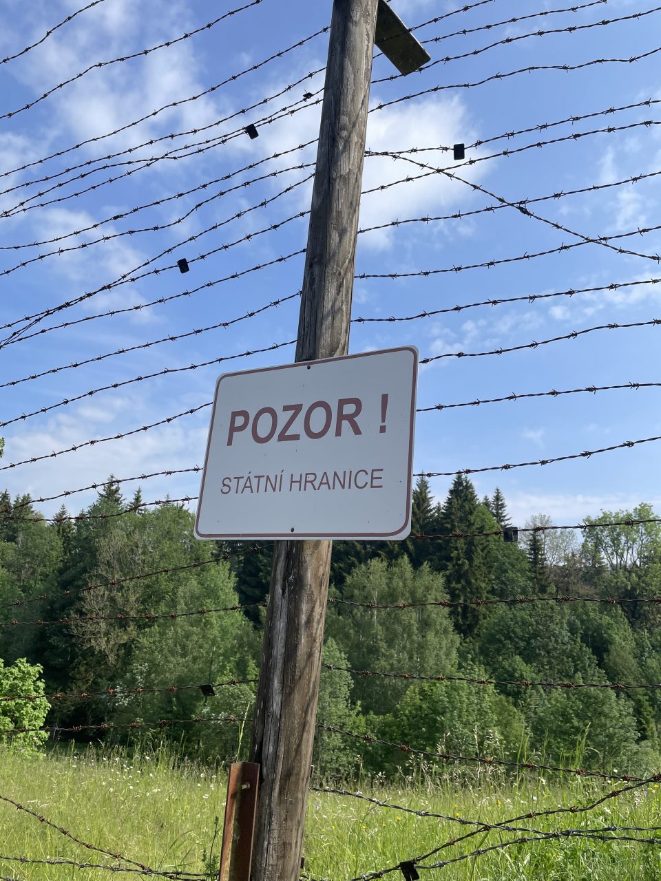
Left: Anti-tank barriers at the Iron Curtain in Southern Bohemia; right “Death Strip”, preventing people from leaving Czechoslovakia and entering the country from Austria

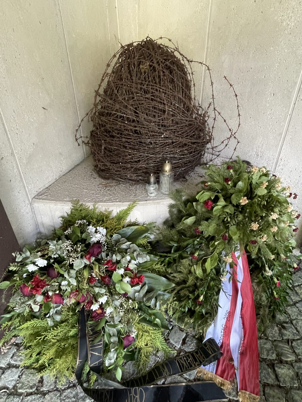
Iron Curtain memorial in the “Mill Quarter”

Iron Curtain memorial trail

My husband Karl’s mother Rosa Wurm, née Traxler, was born on 11 July 1927 (second on the left, sitting). Her family had moved from Kaplitz / Kaplice in Southern Bohemia a few kilometres south to Passberg in Austria. After World War II she trained as a cook.


Left: the family’s farm house in Passberg, “Mill Quarter”; right: Rosa as a young woman
The British Prime Minister described the situation of the Cold War in Europe in 1946 with the words “From Stettin in the Baltic to Trieste in the Adriatic an IRON CURTAIN has descended across the continent.”
The border across the “Bohemian Forest”
For the regions of the “Mill Quarter” and Southern Bohemia this meant that the landscape around the Bohemian Forest, which had been united and disputed along a thousand-year-old border, was since 1948 divided with nearly no communication possible between the two parts. In the area between the Danube and the Moldau many different peoples had found their home over centuries. The Celtic “Bojer” lent their name to “Bohemia” and “Bavaria” and later many different Germanic and Slavic tribes settled in the wooded landscape of the dense Bohemian Forest. The borders which were gradually formed and marginally moved during these centuries were not determined by natural barriers, but by territorial claims to power of various rulers, who traversed the Bohemian Forest north and south.

In the Middle Ages the Bohemian Kings and the Bavarian Dukes were the highest-ranking authorities in the region. Yet the expansive efforts of the local rulers, the “Witigonen” family, in clearing and cultivating the densely-wooded area offered them some independence from the powerful players in the medieval “Holy Roman Empire of the German Nation”. Their territorial claims incorporated possessions which were in the sphere of influence of the Bohemian kings, the Bavarian Dukes, the Austrian Dukes and the mighty diocese of Passau. The”Witigonen’s” chance of uniting the region from southern Bohemia to the Danube was thwarted in the 13th century and since the 14th century today’s border between Bohemia and Austria was consolidated step by step.
When the Kingdom of Bohemia and the Dukedom of Austria were united in 1526 under the Habsburgs and continued to exist as an imperial unity until 1918, in some way the border always remained. Tolls were levied between the provinces of Upper Austria and Bohemia and trade between these parts of the Habsburg Empire was controlled at checkpoints. In 1775 all tariff barriers inside the Habsburg Empire were removed and a common economic zone was established. Just a year earlier, in 1774, the market reeve of Oberplan (now Horni Plan in Czechia) had to settle a dispute over a cow, which was “smuggled” from Ratschin near Oberplan south to Schindlau near Ulrichsberg (now in Austria).
Nevertheless, in 1788 a precise measuring of the border between Bohemia and Austria was initiated, although it was no longer a customs boundary. Yet it was still an administrative boundary, which was relevant with respect to civil and social legal decisions. Who wanted to travel from Bohemia to Austria or vice versa had to have a special pass until 1857, be it for tradesmen or apprentices on the “Walz”, perfecting their skills and completing their apprenticeships, or just for visits of relatives and friends. Only nobility, members of the clergy and civil servants could move freely in the Habsburg Empire.

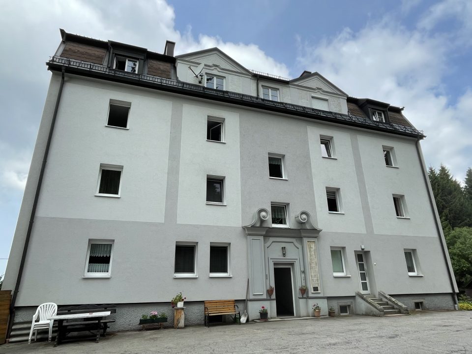
Left: Customs house between Austria and Bohemia in the Habsburg Monarchy. Right: Former Customs House in St. Oswald, “Mill Quarter”, which was erected in 1920 after the end of the Habsburg Empire and the setting up of the state of Czechoslovakia.
What is important to note is that this border was never a language barrier. As long as the administrative state did not interfere and create multiple political and national dependences, different languages did not cause problems. It is known that many members of the local nobility and citizenry were bilingual, German and Czech. Not only did most people in the Czech area speak German as well, also in towns of the “Mill Quarter”, such as Haslach and Freistadt, not just noblemen, but also citizens spoke Czech and not just German. Christoph von Zelking, who donated the famous gothic altar in the church of Kefermarkt, wrote in his last will that his sons had to know Latin, Italian and Czech apart from German, if they wanted to inherit his property.
In 1855 the first map of the Habsburg Empire was drawn up which showed the different linguistic areas and mixed language zones. Since 1869 the Habsburg census incorporated the language spoken, but it was disputed whether the mother tongue or the language spoken in daily life was to be the basis of these language statistics. At this time of rising nationalism, the political border was competing with the linguistic border. The expansion of the administrative state in the fields of education, law enforcement, the military and public security had drastically changed the importance of language. Nationalist ideology poisoned the atmosphere and when the state demanded that in mixed language areas, civil servants had to speak both languages, for example German and Czech, this caused many animosities, because more Czech speakers spoke German, too, than German-speakers Czech. This consequently led to a preference of Czech civil servants employed in the Habsburg administration of the region of Southern Bohemia.
From an economic point of view, the “Mill Quarter” and Southern Bohemia had always been closely interlinked. The “Schwarzenberg Canal”, a sluiceway, shipped logs from the Moldau region to the Danube and down to Vienna. The fast-expanding capital city of the Habsburg Empire was in urgent need of lumber that could no longer be provided from the Viennese Forest or the forests in the vicinity. So, building a sluiceway for floating logs from the Bohemian Forest to the Danube was a convenient solution. The first plans for this most ambitious and technically complicated project were made in 1775. The challenge for the engineers was how to overcome the European main watershed near Rosenhügel. The canal, when it was completed brought great wealth to the noble Schwarzenberg family, as they owned large stretches of woodland in the Bohemian Forest. The engineering project was praised as the “Eighth World Wonder”.
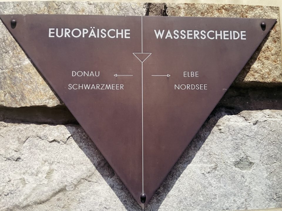
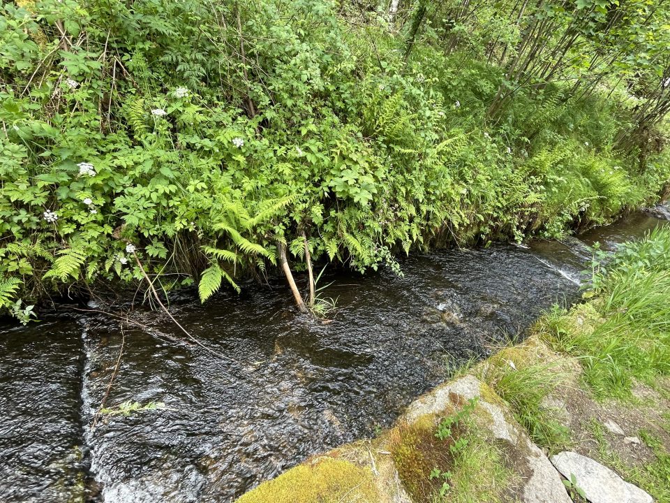
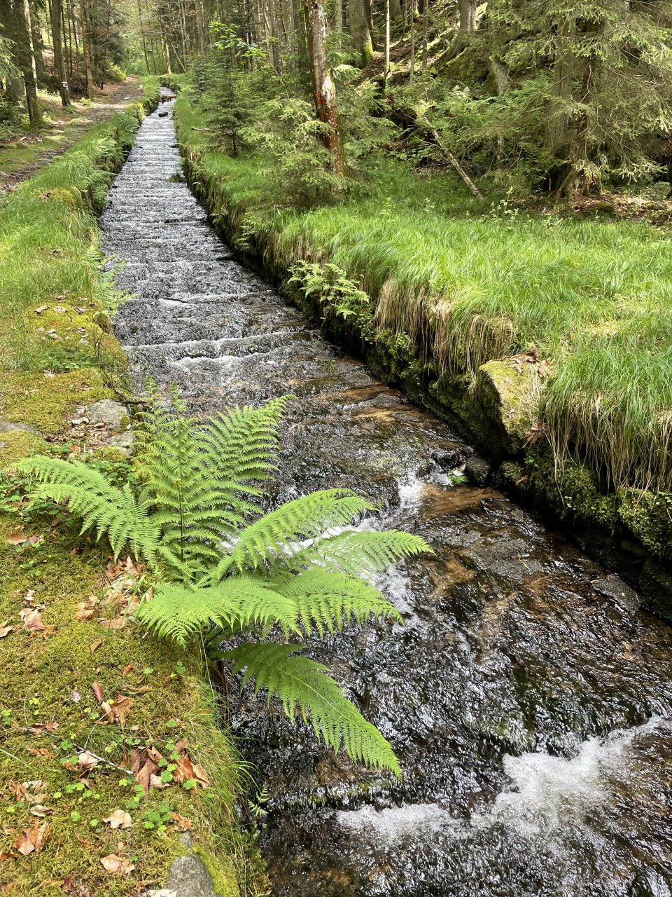
Left: Spot of the European main water shed between Danube – Black Sea and Elbe – North Sea. Right and below: The restored “Schwarzenberg Canal” sluice way.

The horse-drawn railway between Linz and Budweis / Ceske Budejovice, which transported salt from the salt mines of the “Salzkammergut” to Bohemia, was another innovative technical project crossing the Bohemian Forest, but much less successful economically. The 197 kilometre-track connected Gmunden in the “Salzkammergut”, Linz and Budweis. The first part was opened in 1832 and the line was completed in 1836. The transport of passengers and goods was much more profitable from Southern Bohemia to the south than vice versa. Due to technical problems on the narrow and hilly tracks the change from horse-drawn to steam-driven engines came much too late in 1855/56 and only from Gmunden to Linz, which track was flatter and wider. In the meantime, they had even experimented with oxen-drawn engines, because oxen were cheaper than horses. The railway entrepreneur Franz Anton Gestner, who had initiated the horse-drawn railway, was not innovative and forward-looking enough. From Linz to Budweis the passenger trains took 14 hours, two hours more than the stagecoach and from Linz to Gmunden another six and a half hours and freight transport was just as bad. As the railway line was not profitable, the horse-drawn line Linz – Budweis had to be abandoned in 1872, because it was already outdated when it was opened. In comparison, in England the first steam-driven railway opened in 1825 between Stockton and Darlington. On the contrary, the existence of a horse-drawn railway even hindered a modern infrastructure development of the Bohemian Forest.

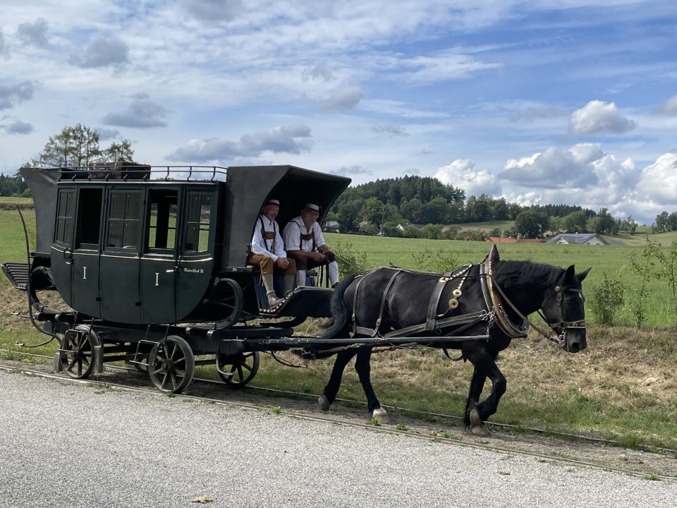
Left: Salt transport on the horse-drawn railway to Southern Bohemia; right: Museum horse-drawn railway in Kerschbaum at the border to Bohemia
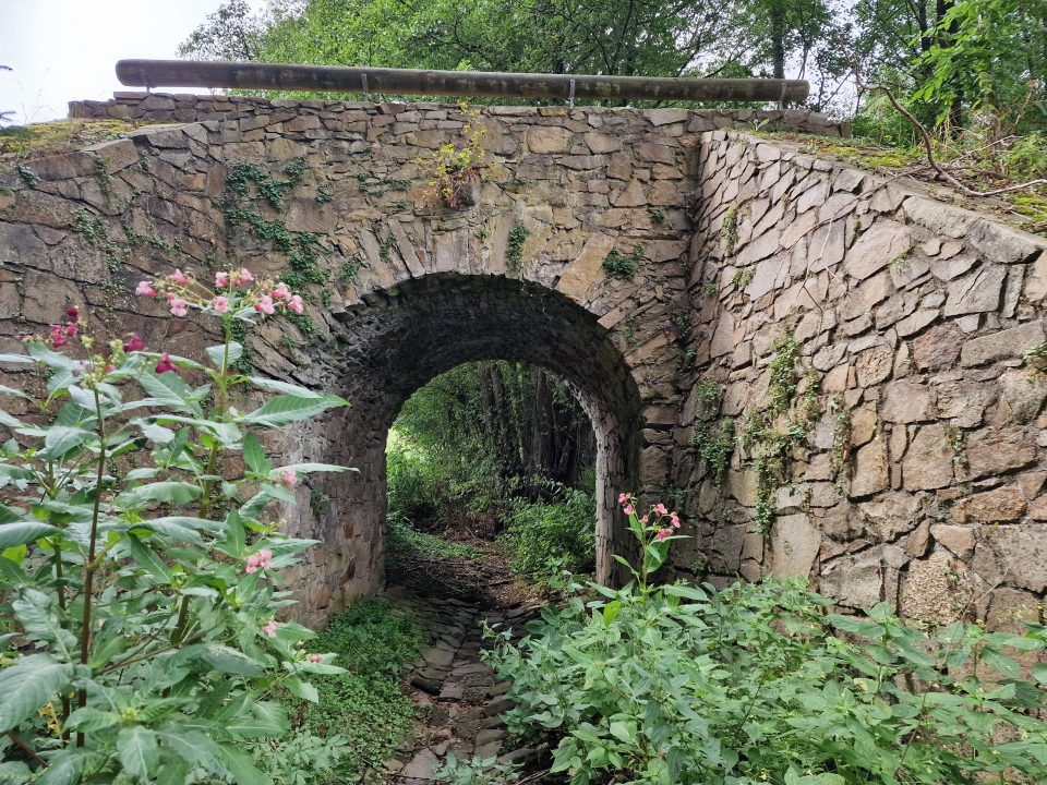

Left: Tracks of the former horse-drawn railway in the “Mill Quarter”; right: Former railway station in Kerschbaum
The majority German-speaking Bohemian districts Krumau / Cesky Krumlov and Kaplitz / Kaplice, where Karl’s mother’s family came from, were economically oriented to the south towards the Danube region in the 18th and 19th century. In the 19th century an extensive migration from Bohemia to Upper Austria took place. Czech workers were involved in building the horse-drawn railway and in Linz the tobacco factory and other large constructions. They worked in coalmining in the “Hausruckviertel” and in the weapons factory in Steyr. For many Czechs Upper Austria was the first stop on their move to Vienna. They were mostly employed in Linz and Steyr as industrial workers, craftsmen, and in domestic service jobs. While in 1858 2,000 Czechs were registered in Upper Austria, in the second half of the 19th century Czechs from Bohemia made up 10 per cent of the population of Linz and 15 per cent in Steyr.